11 Apr, 2021
Finished
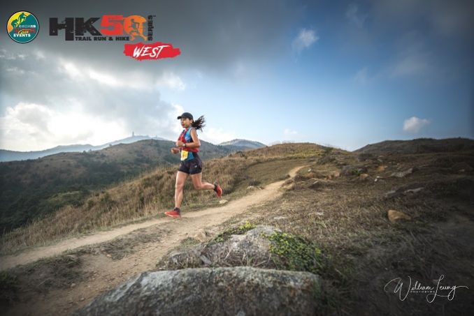
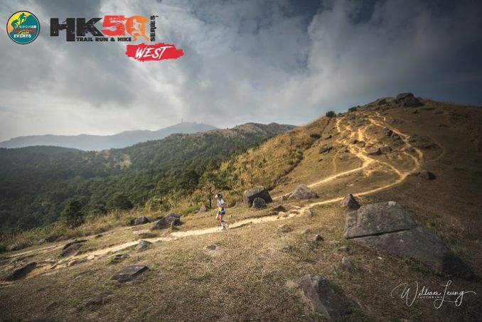
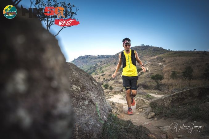
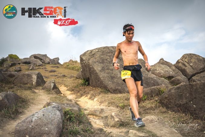
2021 - HK50 WEST - 25k


Course 比賽路線
25Km (25.1Km) - elevation gain 1226m & elevation loss 1226m (Max elev 917m) - 5 hour cut-off
25公里 (25.1公里) - 總爬升1226米,總下降1226米 (最高點 917米) – 限時 5小時
MAPS UPLOADED ON LEFT OF THIS PAGE UNDER DOWNLOAD PDF.
地圖可於左方"Download PDF"下載。
Start & Finish - Shing Mun Reservoir Catchwater, Tsuen Wan (2 minutes walk from Shing Mun Pineapple Dam mini bus stop)
起點及終點 – 城門水塘引水道, 荃灣 (由城門菠蘿壩小巴總站步行2分鐘)
Start & Finish location 起點及終點位置 https://goo.gl/maps/mUh4QX1xJYP2
Course marking - Pink A4 size signs, pink “Skyrunner National Series” ribbons are used for marking; Green reflective ribbons will be with PINK ribbons together from check point 4 (Tsuen Kam Au) all the way back to finish point.
路線指示 – 賽道會採用粉紅A4尺碼路標及印有 “Skyrunner National Series” 字樣的粉紅色絲帶;檢查站4 (荃錦坳)至終點會以粉紅色絲帶旁加上綠色反光絲帶。

25Km公里 (25.1Km公里)
UTMB Qualify race - Finisher of 25Km race can get 1 points for ITRA Endurance Point
UTMB 資格賽 - 完成25公里賽事可取得ITRA分數(ITRA Endurance Point) - 1分
Please find the details of certified tracks below. 有關認証路線請參閱以下連結。
https://tracedetrail.com/index.php/en/trace/trace/92357
Elevation gain 1276m & elevation loss 1271m (Max elev 917m) - 5 hour cut-off (CP1-10km cut-off 2hours)
總爬升1226米,總下降1226米 (最高點 917米) – 限時 5小時
Start time: 6:30AM
起步時間:早上6:30
Shing Mun Reservoir Catchwater (Start) – Lung Mun Country Trail – Cheun Lung Forest Track – Tai Mo Shan Road - Tsuen Kam Au (CP1) – Tai Mo Shan Road – Maclehouse Trail Section 8 – Lung Mun Country Trail - Shing Mun Reservoir Catchwater (Finish)
城門水塘引水道 (起點) – 龍門郊遊徑 - 川龍林道 – 大帽山道 – 荃錦坳 (檢查點1) – 大帽山道 - 麥理浩徑第8段 - 龍門郊遊徑 - 城門水塘引水道 (終點)

Download GPX file (updated) 下載GPX檔案(更新)
|
From 由 |
To 去 |
Distance (Km) 距離 (公里) |
Accumulated 累計距離 (公里) |
Elevation 攀升 (米) |
Accumulated 累計攀升 (米) |
Elevation 下降 (米) |
Accumulated 累計下降 (米) |
|
Shing Mun 城門 |
Tsuen Kam Au 荃錦坳 |
10.5 |
10.5 |
581 |
581 |
285 |
285 |
|
Tsuen Kam Au 荃錦坳 |
Shing Mun 城門 |
14.6 |
25.1 |
645 |
1226 |
941 |
1226 |
|
CP 檢查點 |
Location 地點 |
Distance (Km) 距離 (公里) |
Cut Off Time 關門時間 |
Drink 飲品 |
Food 食物 |
|
CP1 檢查點1 |
Tsuen Kam Au 荃錦坳 |
10.5 |
|
|
Organizer not permited |
|
Finish 终點 |
Shing Mun 城門 |
25.1 |
5 hours |
Water 水 |
Organizer not permited |
Note due to Covid-19 this special approved event has health guidelines the organizer must follow. Please read them in attachment area of this website including the organizer not permited to give out water/food on course. There will be bottled water for all to take away at finish.
Cut-offs are subject to race discretion on race day as Race Director has final say.
關門時間 – 賽事總監在比賽當日擁有最終決定櫂
Insurance - The event has its own public liability insurance coverage, but we recommend that all participants get their own personal accident coverage to cover any personal accidents.
保險 – 本活動已購買公眾責任保險,但建議所有參加者購買個人意外保險以保障任何個人意外。
Medical - As this event involves going into the mountains we recommend all participants to have gone to a medical checkup before the event to make sure you are physically fit enough to handle this kind of physical challenge.
醫療 – 由於活動於山上進行,建議所有參加者進行醫療檢查,以確保身體狀況能應付有關挑戰。


/ITE26-Banner300x100.jpg)
/CBREMKC_9735_HK_Logo web banner-01.jpg)
/RoyalInt300100banner.jpg)
/HysanWebBannerDesign300.png)